The revisit capability of only 5 days and the product coverage size of 800 km x 800 km make WiFS products a valuable source for application fields such as flood and snow melt monitoring.
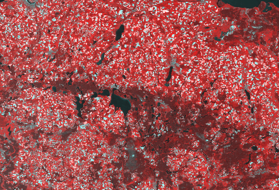
IRS-1D WiFS, lake district, Mecklenburg-Western Pomerania
For a list of available resampling kernels please check the order form.
The standard delivery time for small and medium sized orders varies between three and ten working days.
Data from areas outside the European footprint, gathered by other stations, are also available via GAF.
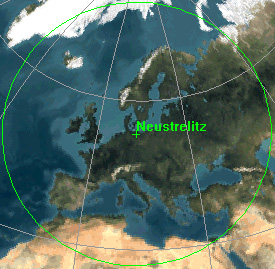
European footprint of IRS-1C and IRS-1D
Manage Cookie Consent
We use cookies to optimize our website and our service.
Functional
Always active
The technical storage or access is strictly necessary for the legitimate purpose of enabling the use of a specific service explicitly requested by the subscriber or user, or for the sole purpose of carrying out the transmission of a communication over an electronic communications network.
Preferences
The technical storage or access is necessary for the legitimate purpose of storing preferences that are not requested by the subscriber or user.
Statistics
The technical storage or access that is used exclusively for statistical purposes.The technical storage or access that is used exclusively for anonymous statistical purposes. Without a subpoena, voluntary compliance on the part of your Internet Service Provider, or additional records from a third party, information stored or retrieved for this purpose alone cannot usually be used to identify you.
Marketing
The technical storage or access is required to create user profiles to send advertising, or to track the user on a website or across several websites for similar marketing purposes.